
BTW, I have all of my pictures in a slideshow at the end of part 2 as well as an interactive Google map of my travels, I'm OK with you calling me geeky.
I've wanted to go camping this summer. Never mind that I'd never really camped before, or owned any camping equipment, I wanted to go camping, and hiking. In Cape Breton no less. Alone. Cape Breton has been on my bucket list for awhile as it is one of the only places in Canada I have yet to visit, that with Newfoundland, Yukon, Northwest Territories and Nunavut.
I borrowed all the camping gear from several people who were nice enough to volunteer to lend me their equipment. This included the tent, camping stove, pots, pans, coolers, loads of tourist information brochures and sleeping bag. I am proud to say that I already owned my own air mattress and flashlight :-).
I didn't have any clear plans to go just jump in the car and drive in the general direction of Cape Breton. I knew I couldn't make it one day so I thought I would probably stop in Edmunston first.
I left early in the morning to avoid the Toronto traffic and made my way to Edmunston. Traffic on the highway was OK but slowed terribly at Montréal and Québec where there was construction everywhere.
BTW you have got to love driving in New Brunswick, you can legally go 110km and get passed by the locals going at 140km. Did not spot any Moose except on the road signs. They must have known I didn't have any Timbits with me. OK so my first night was in Edmunston. My next goal was Chéticamp.
Antigonish
The next morning I drove over the Canso Causeway (they seriously need to update their website) and took the scenic route to Chéticamp.
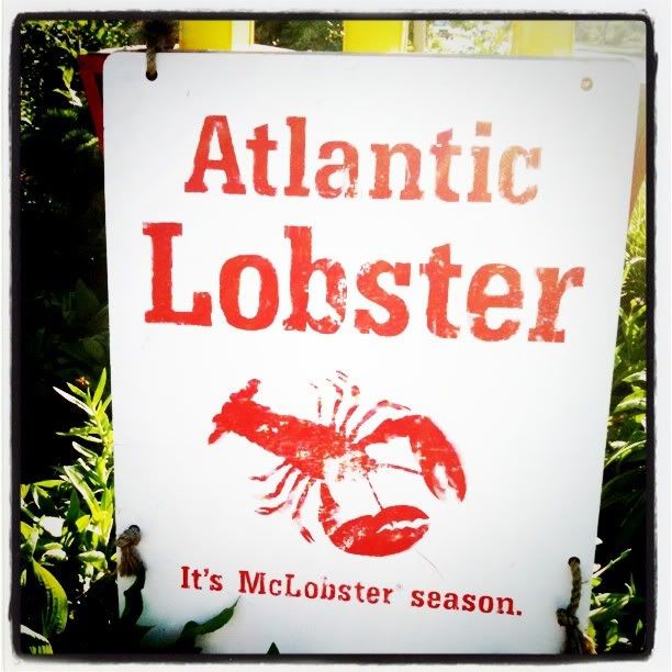
Chéticamp
 |
| Bonjour la visite! |
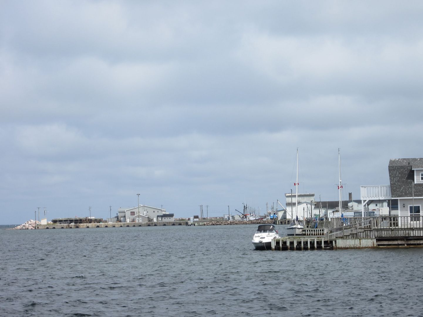
BTW One of the boats was called the Love Boat LOL.
I stayed and dined overnight at Laurie's. I had the sole stuffed w/crab with green beans, rice pilaf and an apple crisp for desert. It was one of 3 meals I ate out during the week.
I also visited Flora's a souvenir/craft shop to see what original creations I would bring home with me. Inside, there were two older women hooking. NOT what you think. They were hooking yarn in jute to create place-mats, rugs, coasters, and other things. The place mats were priced at $80 plus so I strolled to the coaster section and picked one up for $12. They also sold your typical souvenir stuff like Cape Breton t-shirts which I almost purchased until I saw they were made in Honduras. There was a nice funky tea cozy there as well but when I saw it had been made in Gravenhurst Ontario I laughed, making the ladies turn towards me. I made my way back to the Inn after a hasty retreat :P
Chéticamp to Ingonish
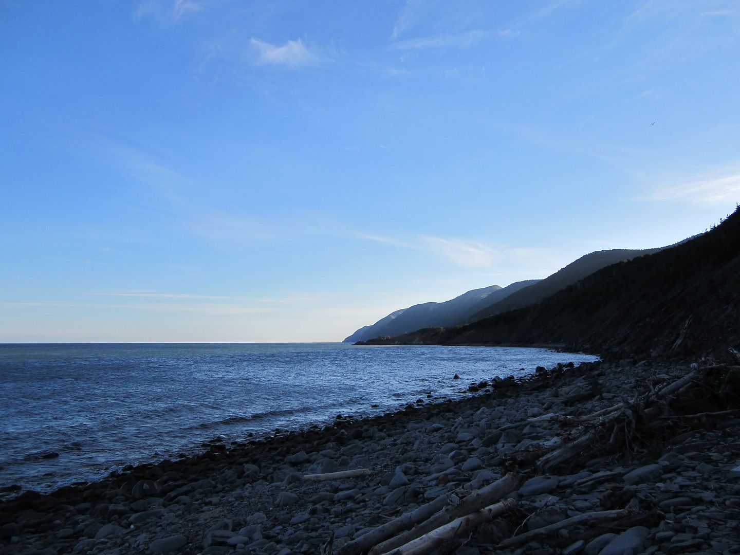 |
| breakfast with the sunrise at La Bloc |
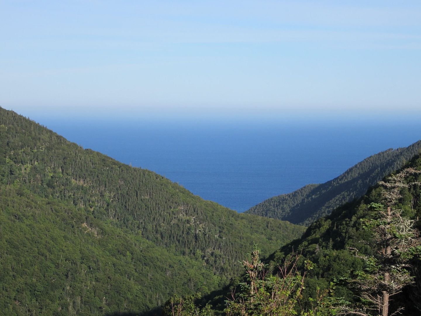
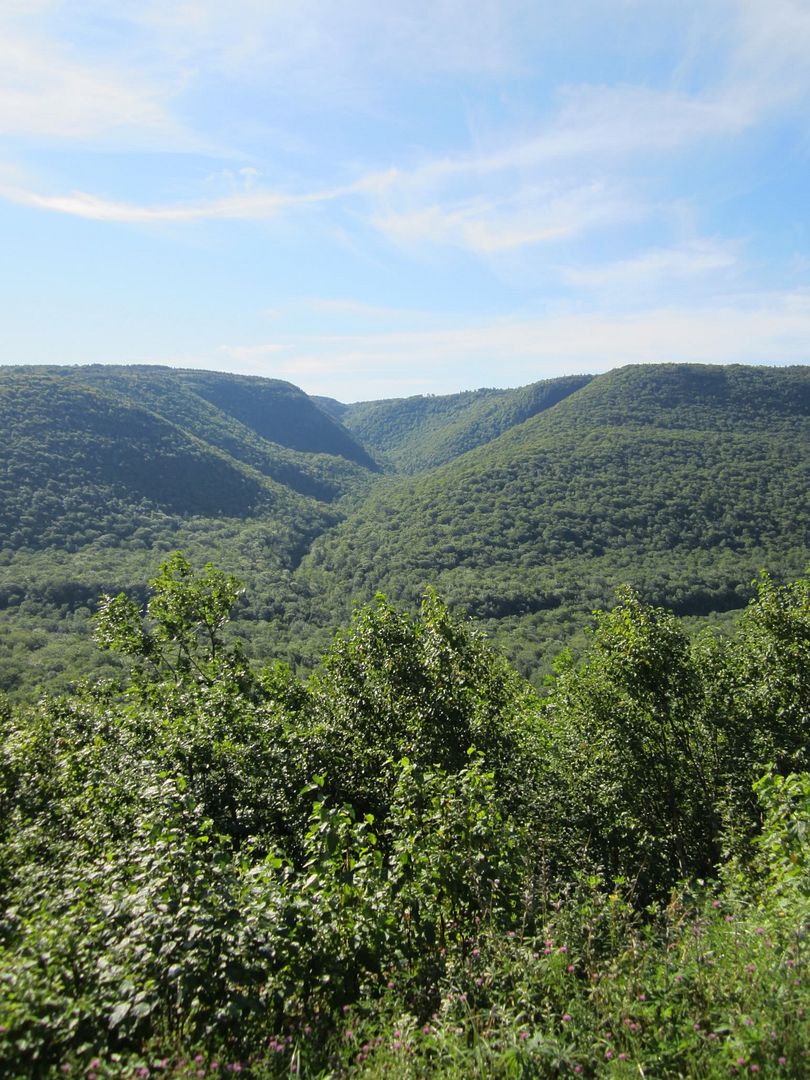
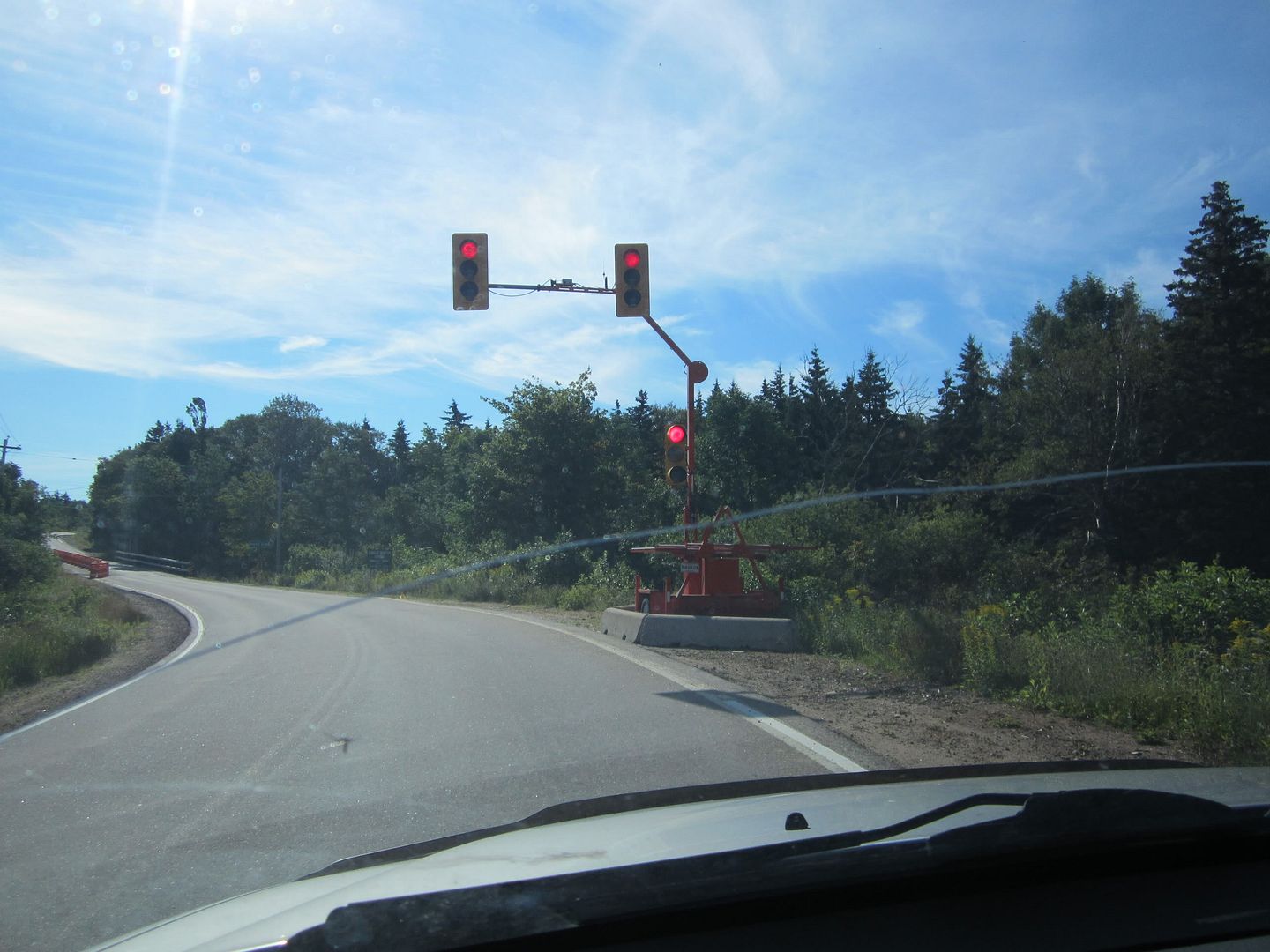
The next pics are pretty much all either water, trees or sky cos that is all there was. Oh and there was a solitary red light in the middle of the trail so of course I had to take a picture of it. Only a selected few pictures made it here on the blog. You will find the entire set of pictures at the end of the post in a slideshow.
I met an interesting lady up in the mountains. Her name was (probably still is) Renadi or Renati. She was travelling/sleeping in her Volks taking pictures with an impressive camera. She told me that she takes tons of pics, downloads them to her computer with her notes then presents them to people who don't have the ability to travel like disabled people. Cool huh? Its also a very small world because she came from Toronto LOL.
 |
| Cap Rouge or Pleasant Bay? |
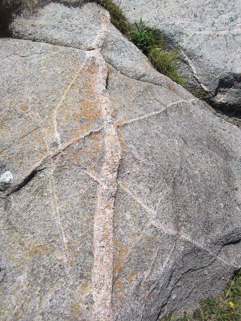
Did you know that there were fault lines in Cape Breton? I didn't either. I was wondering why some mountains were lined up and it turns out that the Cabot Trail crosses a fault line called Aspy Fault. Here is what the info board mentions.
 |
| its not my fault its Aspy's :-) |
The trail is winding and there are sharp inclines and declines. The maps suggest to use lower gears when descending to avoid burning out the brakes. Yikes! The highest point I believe is 457m in the North Mountain. Going downhill was fun. I have got to do this on a motorcycle. The next picture below was taken from the top of the mountain looking down at the road. Can you see me yell out zoom zoom zoom?
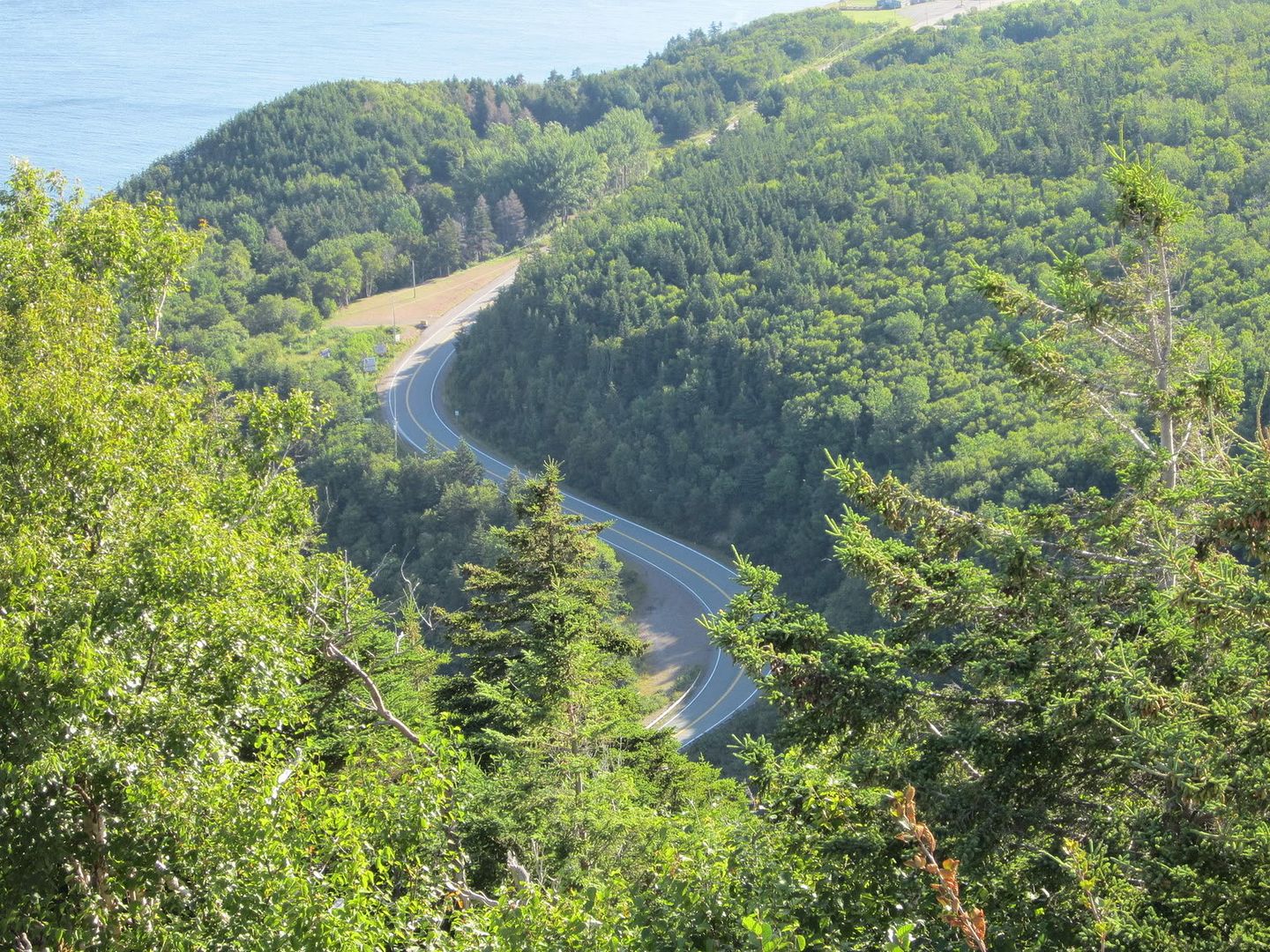 |
| Zoom Zoom Zoom! |
 |
| words fail me |
 |
| follow the pink lines! |
After leaving Green cove I finally made my way to Ingonish.
Stay tuned for part 2 where you will be entertained by my adventures in Middle Earth, Warren Lake, and the tale of the sad muffler.
No comments:
Post a Comment